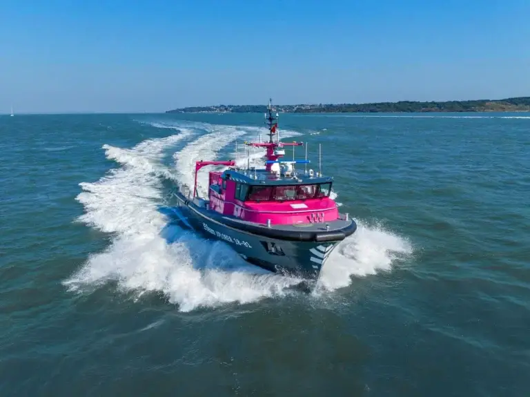
Conducting geophysical surveys at the design and planning stages of your project helps to identify and mitigate hidden hazards which could be faced by offshore project teams and contractors.
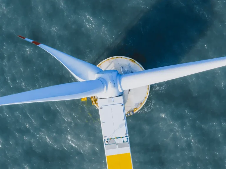
Supporting your offshore wind development activities, we deliver geophysical survey solutions at all water depths, minimising project risk, improving safety and facilitating the route and project design for offshore developers.
Efficient ship to shore reporting
Dedicated data link enables live data feed from ship to shore for reporting efficiency via data platform and remote ops.
State-of-the-art geophysical equipment
Fully integrated geophysical solutions, using the latest state-of-the-art technology and equipment.
Seamless integration of data
Seamless integration of data between geophysical, geotechnical and environmental teams, for reporting consistency.
Geophysical site investigations
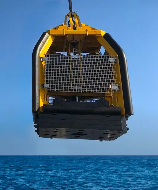
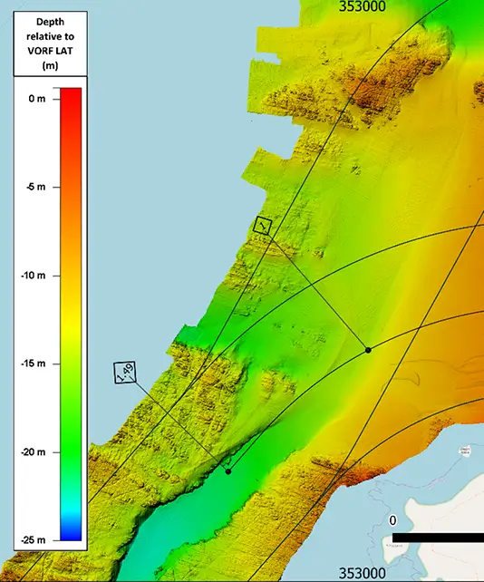
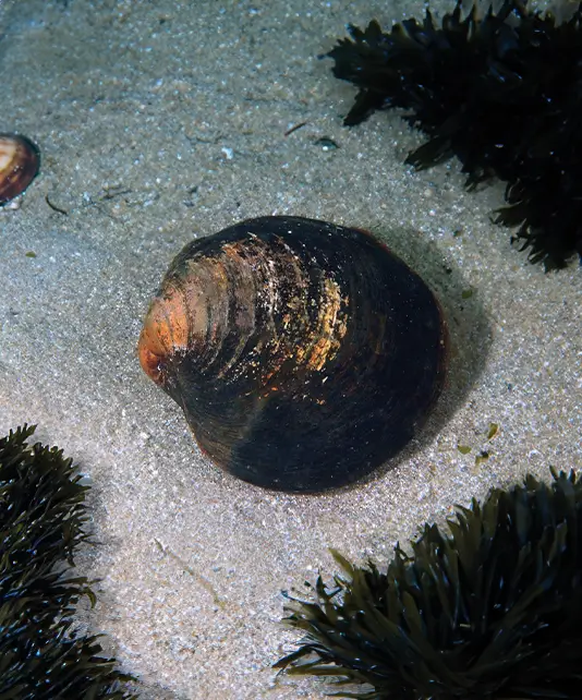
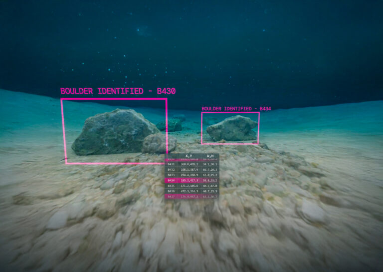
Utilising non-intrusive cutting-edge technology, we deliver a complete understanding of the structure of the seabed in order to facilitate the secure and cost-effective development of maritime infrastructure, all the while safeguarding marine life.
Our teams employ an array of state-of-the-art technology, such as multibeam, gradiometer, magnetometer, sonar, and towed-seismic systems. Through our cutting-edge data platform, onshore teams can take real-world, on-screen measurements and examine project deliverables in real time, helping to reduce mobilisation risks and costs.
Precise geophysical information, expertly analysed, is vital in accelerating project advancement, mitigating risks, and minimising over-engineering. In order to further lessen the impact of projects, we utilise unmanned surface vessels (USV) to reduce the duration of vessel operations, and employ remote processing to restrict the number of personnel required offshore.
By identifying sensitive areas, we enable developers to better design and implement mitigation measures to protect biodiversity and ecosystem functioning. Contributing to the optimisation of project design and layout, our surveys aid developers in identifying potential hazards, such as geological risks or navigational challenges, so that they can modify their plans to enhance safety and efficiency.
Unexploded ordnance (UXO) continue to pose a real risk to site developers, contractors and asset owners, even after decades of inactivity.
We are experienced in identifying, investigating and mitigating hazards with precision and expediency. To thoroughly evaluate the risks presented by potential UXO (pUXO) on or beneath the seabed, we perform accurate and high-resolution geophysical surveys, to ensure that we identify any pUXO at the development site.
Leveraging our suite of industry-leading technology and advanced equipment, our team of experts can identify magnetic gradients and anomalies with precision, as well as sub-bottom profiles, enabling the detection of both ferrous and non-ferrous UXO contamination.
Through our commitment to excellence and use of innovative methodologies, we ensure that the identification of pUXO is an efficient and highly accurate process, safeguarding all stakeholders involved in the project.
Eliminating uncertainty about offshore subsea site conditions, we help our clients mitigate risk and ensure the long-term performance of their assets. Our technical studies and surveys deliver insights that provide a thorough understanding of offshore wind development areas and cable routes, guiding layout and design.
We specialise in conducting thorough pre-lay surveys, incorporating state-of-the-art geophysical and geotechnical equipment, accompanied by thorough video inspections. Our ultra-high-resolution data enables our clients to assess seabed conditions accurately before cable installations take place.
At Beam, we recognise the criticality of these surveys in ensuring the successful deployment and ongoing operation of offshore wind farms. With our expertise and cutting-edge technology, we deliver comprehensive and reliable cable route planning solutions, helping our clients to make informed decisions and maintain the efficiency and reliability of their offshore wind installations.
Dedicated data link enables live data feed from ship to shore for reporting efficiency via data platform and remote ops.
Fully integrated geophysical solutions, using the latest state-of-the-art technology and equipment.
Seamless integration of data between geophysical, geotechnical and environmental teams, for reporting consistency.
Dedicated reporting team.
De-risking offshore wind farm developments.
USV technology for force multiplication.
A breadth of capabilities
Our specialist skills and knowhow have been hard-earned through challenging projects in the harshest environments. This has deepened our understanding of what technology is truly capable of, enabling us to deliver exceptional insights with speed and efficiency.
Explore our collection of specification sheets and brochures to gain a deeper understanding of our technology and the services we provide. Download now to discover how our expertise can support your needs and drive your success.
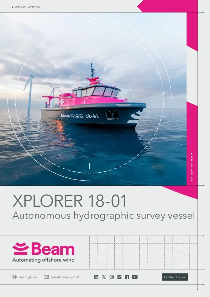
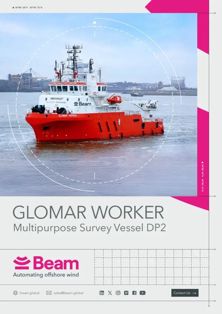
Brochure
Marine Site Characterisation
Download our brochure to view our full range of capabilities.