Shallow geotechnical survey
Geotechnical solutions designed to assess and monitor near-surface seabed conditions.
Eradicate costly surprises
We provide a comprehensive range of geotechnical solutions, which complement all geophysical, geotechnical, and environmental survey site investigations.
Co-located geotechnical sampling
Our dedicated DP2 survey vessel, the Glomar Supporter, has two A-frames for co-located geotechnical sampling.
Stable platform for repeatability
Equipped with advanced dynamic positioning capabilities, our DP2 vessels provide a stable platform for conducting operations in challenging marine environments.
Seamless integration of data and reporting
Geophysical and geotechnical teams working in close collaboration to ensure consistency across all reports and seamless integration of data.
A comprehensive range of geotechnical solutions
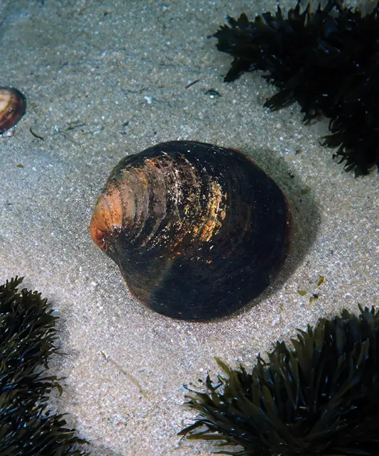
To provide further understanding of the composition of sediments at and below the seabed, geotechnical sampling is undertaken. Cone Penetration Testing (CPT) provides in-situ measurements of a soil’s properties, while a vibrocorer is used to provide physical sediment samples that can be analysed in further detail.
Geotechnical analysis supports ground-truthing of geophysical data, providing greater certainty of physical seabed properties across the survey area. Running geotechnical operations alongside hydrographic survey, geophysical survey and other work packages improves value through fewer mobilisations and acquisition synergies.
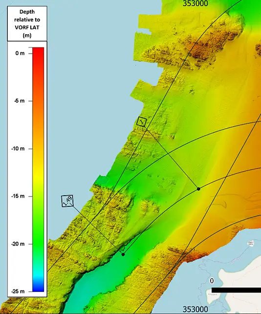
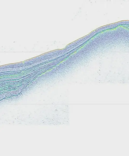
We perform seabed mapping from nearshore and hazardous shallow water to deep water environments, using a range of hydrographic surveying methodologies including multibeam bathymetry, side scan sonar, sub-bottom profiler, 2D-UHR and magnetometry surveys.
Our added value
- A dedicated DP2 survey vessel, the Glomar Supporter, with two A-frames for co-located geotechnical sampling.
- Close partnerships with experienced sub-contractors to bring our clients deep expertise.
- A single point of contact managing all sub-contractors, ensuring consistency and timeliness of reporting.
- Geophysical and geotechnical teams working in close collaboration, ensuring cross-pollination of data and consistency across all reporting.
A breadth of capabilities
Our specialist skills and knowhow have been hard-earned through challenging projects in the harshest environments. This has deepened our understanding of what technology is truly capable of, enabling us to deliver exceptional insights with speed and efficiency.
Downloads
Explore our collection of specification sheets and brochures to gain a deeper understanding of our technology and the services we provide. Download now to discover how our expertise can support your needs and drive your success.
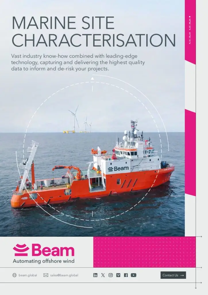
Brochure
Marine Site Characterisation
Download our brochure to view our full range of capabilities.
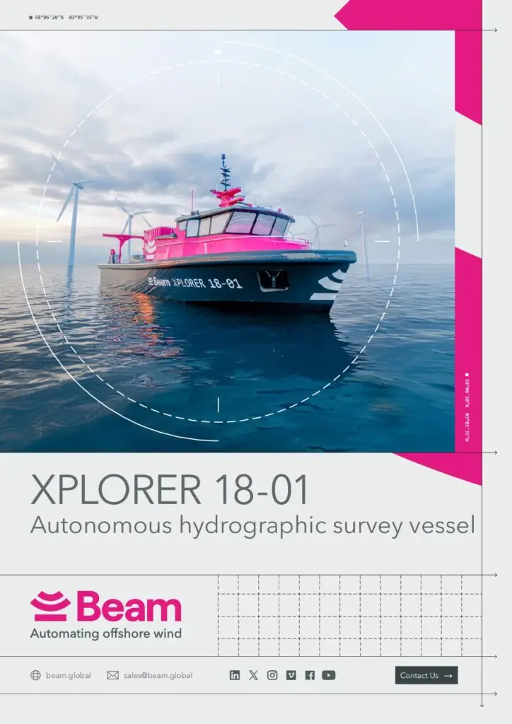
Specification Sheet
Xplorer 18
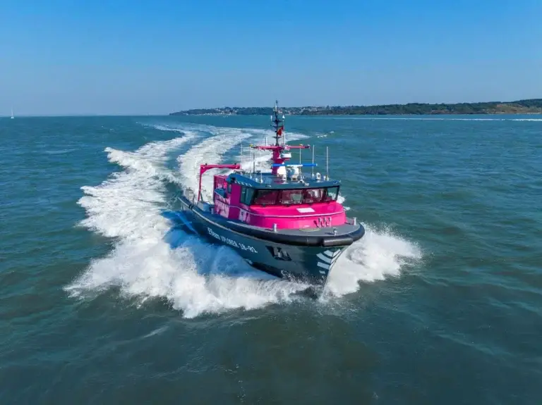
Our fleet includes the Xplorer 18, an autonomous, minimally crewed hydrographic survey vessel that effortlessly supports near and offshore campaigns.
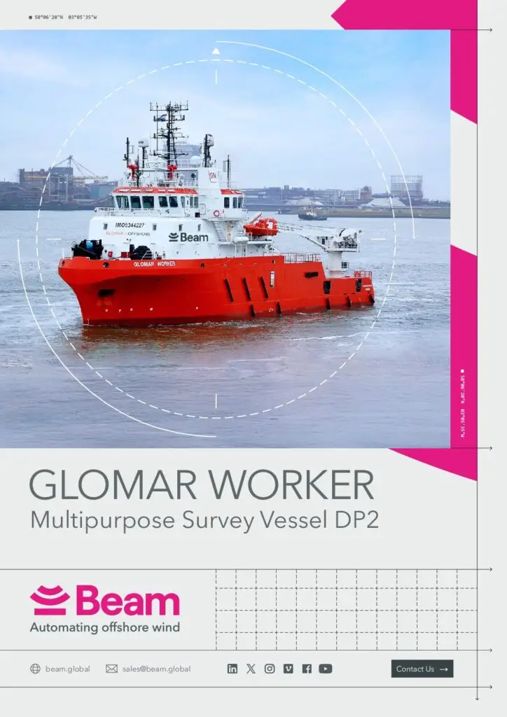
Specification Sheet
Glomar Supporter
The Glomar Supporter, our dedicated DP2 survey vessel, has a proven track record of safe and efficient operations.
View our latest news and highlights
Press Releases

Latest Business Update: Q1 2025
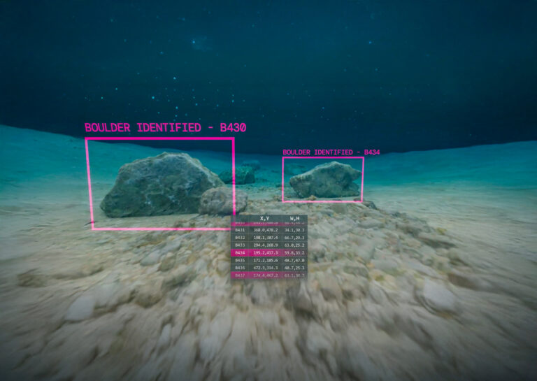
How machine learning and AI is making boulder picking 400x faster
We’ve Achieved Planet Mark Certification for a 3rd Consecutive Year
Beam Recognised Among Britain’s Fastest-Growing Tech Companies
