Hydrographic survey
We utilise a range of hydrographic surveying technologies to conduct seabed mapping, covering various areas from the coastline to hazardous shallow water and deeper ocean depths.
Leading the way with remote hydrography
Maintaining a clear focus on your objectives, we tap into our extensive resources and expertise to bring you a superior service that sticks to your schedule. Our modern fleet of advanced vessels offers flexibility and force-multiplication, playing a vital role in delivering high-quality results.
Lower emmissions
Up to 7 tonnes of CO2 are saved for every survey vessel day replaced with an USV.
Reduced HSE exposure
By utilising USVs, we remove personnel from hazardous offshore environments.
A leaner solution
A more cost-effective, efficient and portable solution, delivering instant results.
Accelerate the acquisition of superior hydrographic data
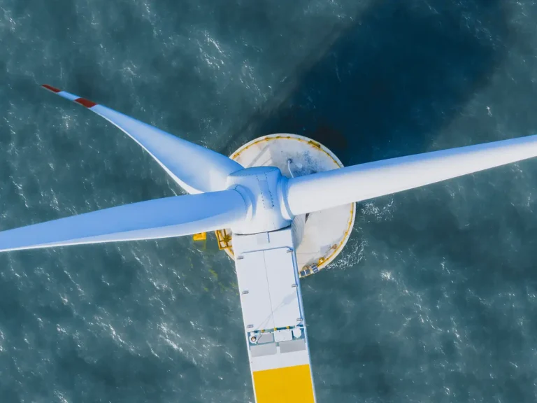
Whether you are planning a new offshore wind farm development or monitoring existing infrastructure, understanding bathymetry is a vital task. Failure to track seabed morphology can lead to over-budgeting of infrastructure requirements, or increased costs from remediating defects due to unsuitable foundations or poorly designed cable routes.
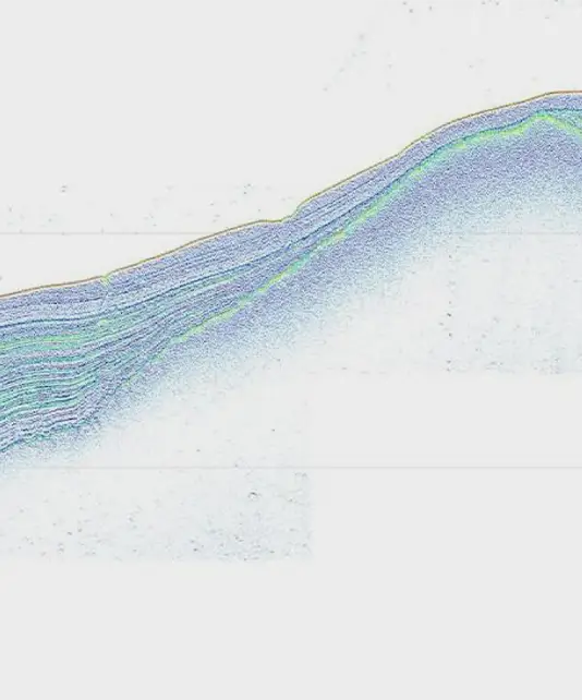
We perform seabed mapping from nearshore and hazardous shallow water to deep water environments, using a range of hydrographic surveying methodologies including multibeam bathymetry, side scan sonar, sub-bottom profiler, 2D-UHR and magnetometry surveys.
Supporting your offshore wind development activities, we deliver geophysical survey solutions at all water depths, minimising project risk, improving safety and facilitating the route and project design for offshore developers. Operated by our highly experienced team of hydrographic surveyors, our innovative solutions are tailored to meet your quality, sustainability, schedule, and cost requirements. Supporting site consenting, pre-construction and cable route surveys, our survey solutions accelerate the acquisition of industry-leading hydrographic data.
- Bathymetric surveys
- Debris surveys
- Port and harbour surveys
- Scour surveys
- Fixed and floating foundation surveys
- Cable route and depth of burial surveys
- Unexploded ordnance investigations
- Environmental surveys
- Marine archaeological investigations
A breadth of capabilities
Our specialist skills and knowhow have been hard-earned through challenging projects in the harshest environments. This has deepened our understanding of what technology is truly capable of, enabling us to deliver exceptional insights with speed and efficiency.
Downloads
Explore our collection of specification sheets and brochures to gain a deeper understanding of our technology and the services we provide. Download now to discover how our expertise can support your needs and drive your success.
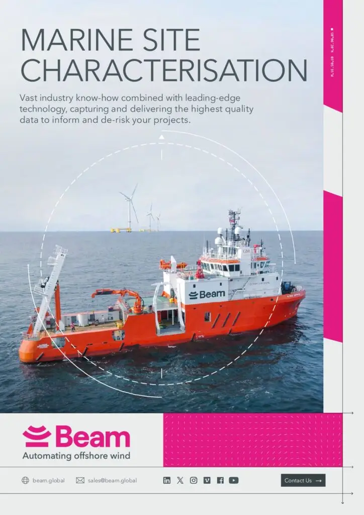
Brochure
Marine Site Characterisation
Download our brochure to view our full range of capabilities.
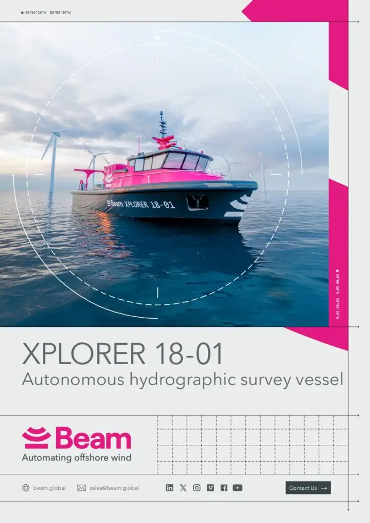
Specification Sheet
Xplorer 18
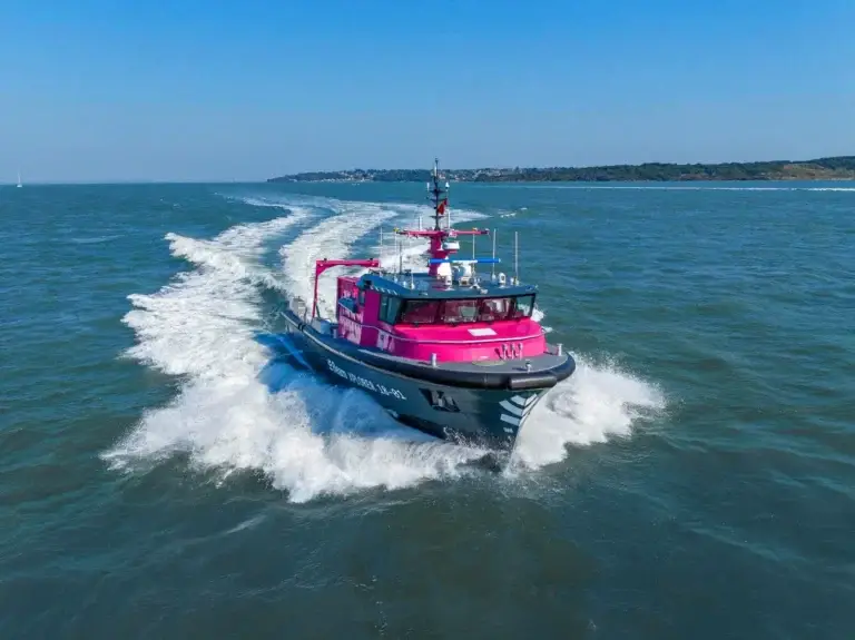
Our fleet includes the Xplorer 18, an autonomous, minimally crewed hydrographic survey vessel that effortlessly supports near and offshore campaigns.
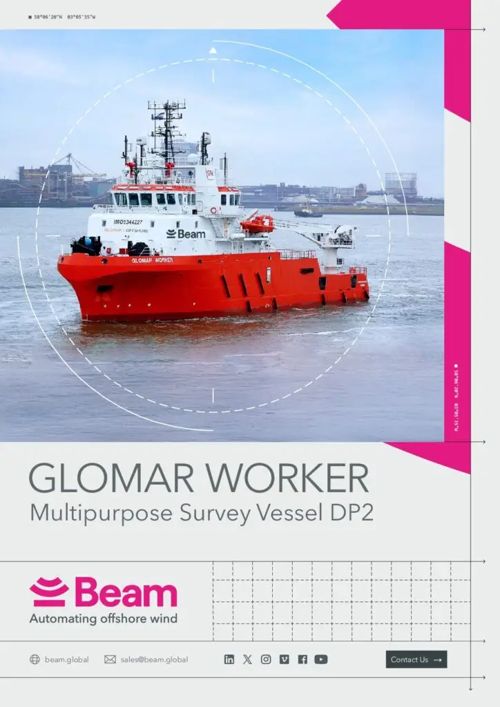
Specification Sheet
Glomar Supporter
The Glomar Supporter, our dedicated DP2 survey vessel, has a proven track record of safe and efficient operations.
View our latest news and highlights
Press Releases

Latest Business Update: Q1 2025
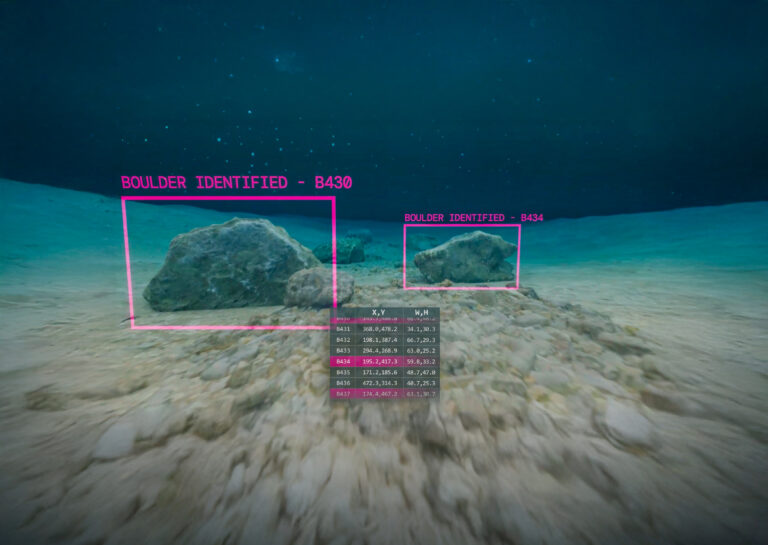
How machine learning and AI is making boulder picking 400x faster
We’ve Achieved Planet Mark Certification for a 3rd Consecutive Year
Beam Recognised Among Britain’s Fastest-Growing Tech Companies
